Scientists just found a lost river world buried beneath Antarctica’s ice for 34 million years
Dehradun ( Vivek Ojha) : Using ice-penetrating radar gathered across multiple airborne survey campaigns, an international team led by Durham University has mapped a vast ancient landscape stretching along 3,500 kilometres of the East Antarctic margin, a terrain of 31 separate flat surfaces, formed by rivers that once flowed freely across what is now the most remote and ice-covered continent on Earth.
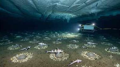
Beneath nearly two kilometres of the East Antarctic Ice Sheet, locked away since the continent froze over at least 34 million years ago, scientists have found something that changes the way researchers understand both Antarctica’s distant past and its near-term future.
The study, published in Nature Geoscience, is the first to identify these surfaces at this scale, and what the researchers found is not simply a record of a warmer, wetter Antarctica. These buried plains appear to be actively influencing how the ice above them moves today, slowing the flow of glaciers in ways that current climate models have not accounted for, and complicating projections of how much sea level will rise as the world continues to warm.
About Antarctica:
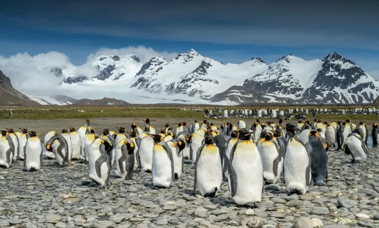
Antarctica “the white continent” is the fifth largest continent in the world with its unique wildlife, extreme coldness, dryness, windiness and unexplored territories. The word Antarctica is derived from the Greek word antarktike, which means “opposite to north” i.e., opposite to the Arctic.
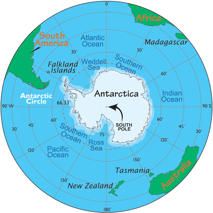
It is situated within the Antarctic Circle and is surrounded by Southern Ocean. James cook discovered Antarctica when he was crossing the Antarctic Circle. The world’s largest ocean current, the Antarctic circumpolar current circumvents the Antarctic continent. Of the 14 million-sq.km area, 98% is covered with thick ice sheets that formed 25 million years ago and holds 75% of the earth’s fresh water.